Ground penetrating radar (GPR) is a non-intrusive geophysical method used to locate and map sub-surface features.
Common applications are in the identification of utilities, concrete thickness, rebar, concrete structural analysis, and void determination. Beyond this, due to the versatility of GPR there is a wealth of applications that GPR excels at offering information on, from shallow surface geology and archaeology to subsurface environmental investigations.
GPR works in a similar way to acoustics and the analysis of sound waves, however, with the use of electromagnetic waves in place; the principles are the same. A radar antenna will emit an electromagnetic pulse as a waveform that will propagate through a sub-surface body creating reflections. The time it takes for a waveform to travel from a transmitter and reflect back to a receiver can be used to determine the location and depth of an object. The speed at which a waveform travels through a body varies in range depending on the composition and potential saturation of that material.
A further consideration in the use of GPR is the frequency at which an antenna emits a waveform. By way of example, a low-frequency antenna will have a higher depth penetration rate, but lower quality of resolution. Alternatively, a higher frequency antenna will have significantly better resolution, but will only achieve a shallower depth at that quality of resolution. It is therefore important to understand the scope of an investigation and its expectations for a conclusive analysis.
At Vision, our team crosses a broad range of specialist subject areas from Civil Engineering to Geology and Geophysics. Our GPR surveyors are involved daily with executing unique and complicated projects whilst continuing to find new innovative ways to tackle complications. This experience alongside their passion for GPR and subsurface data interpretation can only leave a client confident in the delivery of a quality product with the most up to date technology.
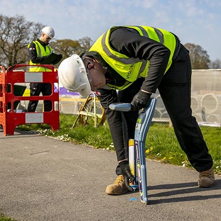
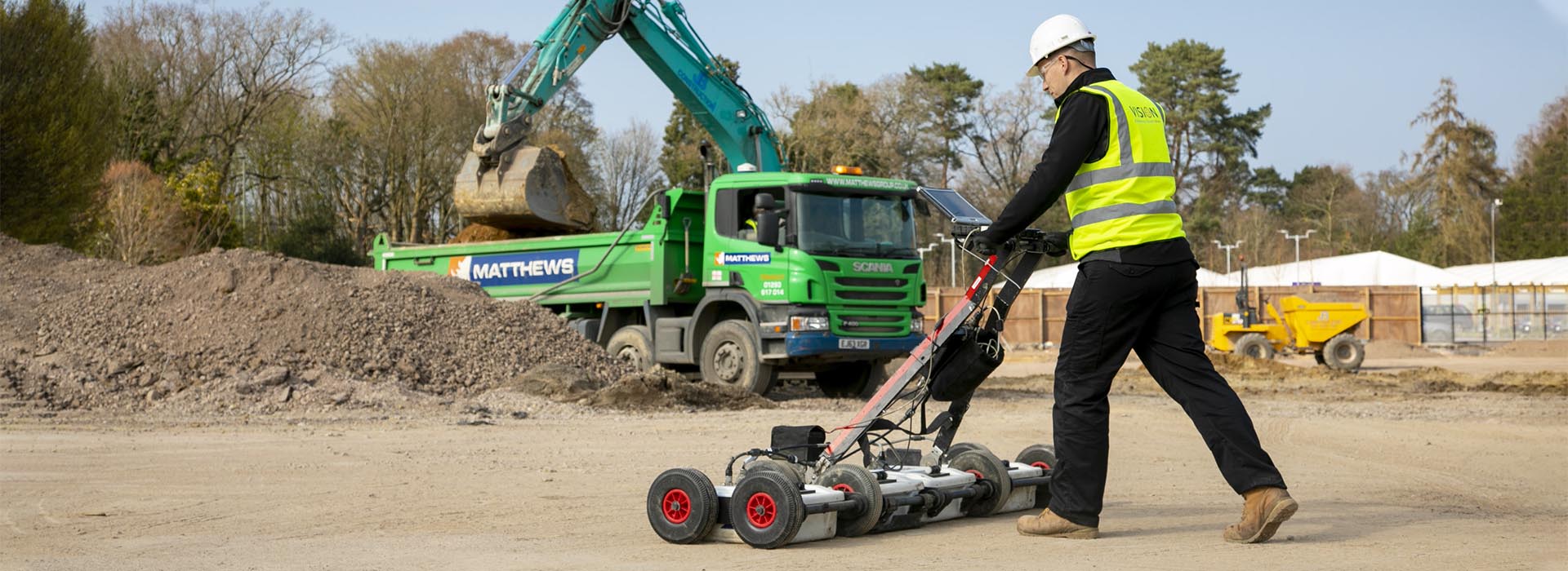
Vision uses a variety of IDS and GSSI equipment for utility and structural scanning as well as a custom-built quad-towed IDS antenna array that can be deployed in open rural areas for greater coverage. This helps to reduce the overall cost and increases the speed of data capture.
We also utilise a 40-channel towable vehicle mounted array capable of recording huge amounts of data in cross polarization in a single transit. Using this method to carry out site GPR surveys reduces the risk of an incident in high traffic flow areas without having to close roadways.
Vision combines the recorded data from EML and GPR surveys to create a fully coordinated digital model of the sub-surface utility network, thus ensuring that we are able to deliver the most accurate and comprehensive survey findings possible. With Vision, a client can expect high-quality utility drawings to PAS128 standards, allowing them to proceed with construction work confidently and safely.